Camino Photo of the Day: Turn Right
The Via Podiensis follows a French hiking route designated GR-651. It’s (usually) well-marked with a red and white blaze. It often follows other local routes resulting in a series of blazes. Here’s an example. The yellow blaze is commonly used to indicate a local route, so you see those everywhere. I’m not sure what route the green blaze indicates. In all cases, the shape of the blazes in this photo indicate that all of the routes turn right here.

Date: 24 August 2023
Place: between Les Cambrassats and Lestrade, Aveyron Département, Region of Occitanie, France
Maps!
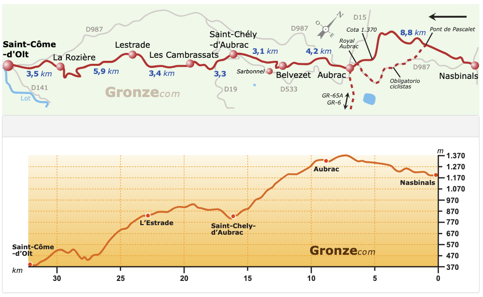
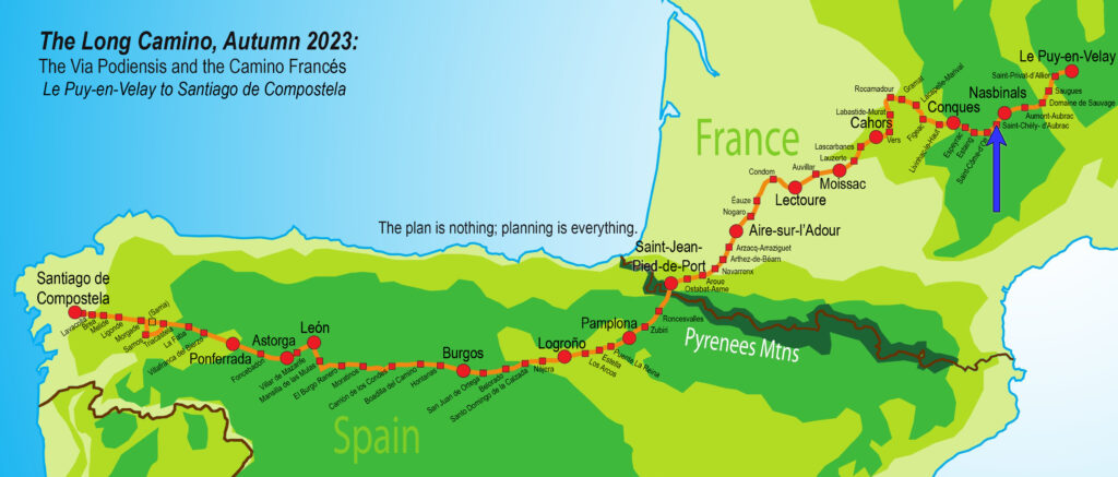
If you’re the sort who looks at the maps, you’ll note that the stage shown is 32+km long. I split this up into two days, since I wanted to spend some time exploring both Saint-Chély-d’Aubrac and Saint-Côme-d’Olt, both of which are on the list of most beautiful villages in France.


- GR stands for grande randonnée, usually translated as “long trail”.
